The contrast between Hamilton's lower city and the escarpment neighborhoods tells you almost everything you need to know about local ground conditions before you even break ground. Down near the harbor and industrial waterfront, decades of fill material sit over compressible glaciolacustrine silts and clays—material that can look firm at surface but tells a different story at two meters depth. Up on the Mountain, particularly in areas like Ancaster or Waterdown, you are more likely to encounter the Queenston Formation's reddish shale bedrock surprisingly close to grade, often mantled by a thin, stony Halton Till that varies dramatically in density from one lot to the next. An exploratory test pit in either setting gives us direct visual access to this stratigraphy, letting our crew log transitions, collect undisturbed block samples, and identify groundwater seepage patterns that borehole logs sometimes miss. For projects near the Red Hill Valley or along the Niagara Escarpment corridor, we frequently pair initial pit observations with targeted CPT soundings to correlate soil behavior type with what we can see and feel on the pit walls, building a geological model that actually reflects the complexity of the Hamilton landscape.
Direct observation of Hamilton's red shale weathering profile in a test pit often reveals slickensided surfaces and groundwater seepage that no drill rig log can capture.
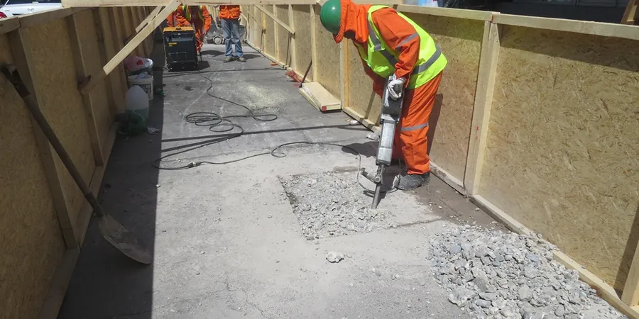
Methodology applied in Hamilton
Typical technical challenges in Hamilton
The Queenston Formation shale that underlies much of Hamilton presents a specific geotechnical hazard that we have learned to anticipate: rapid strength loss upon exposure to air and moisture. Freshly excavated shale in the pit walls can appear competent during the first hour, then begin spalling and slaking within 24 hours of exposure, particularly during the freeze-thaw cycles that define southern Ontario winters. This behavior has direct implications for foundation subgrades, especially in residential subdivisions carved into the escarpment face where cut-and-fill transitions create differential weathering rates. Another risk we document during test pit investigations across the lower city is the presence of undocumented fill—coal ash, foundry sand, brick rubble, and occasionally hydrocarbon-stained soils from Hamilton's century of heavy industrial activity. Identifying these materials visually in a pit allows for targeted environmental sampling before excavation proceeds, avoiding costly surprises during shoring or pile installation. On sloping sites near the Dundas Valley or along the Bruce Trail corridor, test pits also give us critical data on the depth to bedrock and the orientation of shale bedding planes, information that feeds directly into slope stability analyses required for building permit applications on steep grades.
Our services
Our test pit investigations in Hamilton generate the direct observational data and physical samples that underpin subsequent laboratory testing and foundation design. The following services represent the most common next steps after pit logging is complete:
Soil Classification and Index Testing
Bulk samples collected from pit walls are processed for grain-size distribution, Atterberg limits, and natural moisture content under ASTM D4318 and D6913. These index properties establish the engineering classification needed for bearing capacity estimates and excavation planning in Hamilton's tills and lacustrine deposits.
Compaction and Strength Assessment
Undisturbed block samples taken directly from test pit faces are trimmed for Proctor compaction testing (ASTM D698) and unconfined compression tests on cohesive till. Where the pit exposes shale fill proposed for reuse as engineered backfill, we quantify the breakdown potential through slake durability testing.
Correlation with In-Situ Penetration Data
Test pit observations calibrate the results of nearby SPT boreholes or CPT soundings. Seeing the actual transition from stiff clay to weathered shale in the pit wall allows us to refine the blow count-to-strength correlations that structural engineers rely on for deep foundation design in Hamilton's escarpment zones.
Frequently asked questions
What is the typical cost range for an exploratory test pit investigation in Hamilton?
For a standard test pit excavated to depths of 2.5 to 3.5 meters, including backhoe mobilization, our logging and sampling time on site, and a factual report with stratigraphic logs and site photographs, budgets in the Hamilton area generally fall between CA$720 and CA$1,190 per pit. Deeper pits requiring trench box installation, multiple pits on the same site, or investigations in tight-access escarpment properties will shift that range upward due to specialized equipment and additional safety requirements.
How deep can you excavate a test pit safely on a typical Hamilton residential lot?
On a standard residential lot with adequate set-back from foundations and property lines, we routinely excavate to 3.5 meters using a rubber-tired backhoe. Beyond 3.5 meters, Ontario Regulation 213/91 requires either benching, sloping at 1:1 or flatter depending on soil type, or the installation of a certified trench box. In Hamilton's Halton Till, which often stands near-vertically in the short term, we still slope back at 1:1 as a precaution against sudden raveling, particularly after rain. Depth capability ultimately depends on overhead clearance, buried utility locations, and the stability of the specific material encountered.
Can test pit observations replace borehole drilling for a foundation design in Hamilton?
Test pits provide excellent data for shallow foundation design and near-surface characterization, but they have depth limitations that boreholes do not. For typical single-family home foundations bearing within the upper 2 to 3 meters of stiff till or shale, a well-executed test pit program logged under ASTM D2488 often supplies sufficient information for a geotechnical engineer to recommend bearing pressures and subgrade preparation. When column loads are high, or when the design requires understanding conditions at 6, 8, or 12 meters depth—common for commercial structures in Hamilton's downtown core—test pits must be supplemented with SPT boreholes or CPT soundings to characterize the deeper stratigraphy and assess potential for deep-seated settlement in the glaciolacustrine clays beneath the fill.